
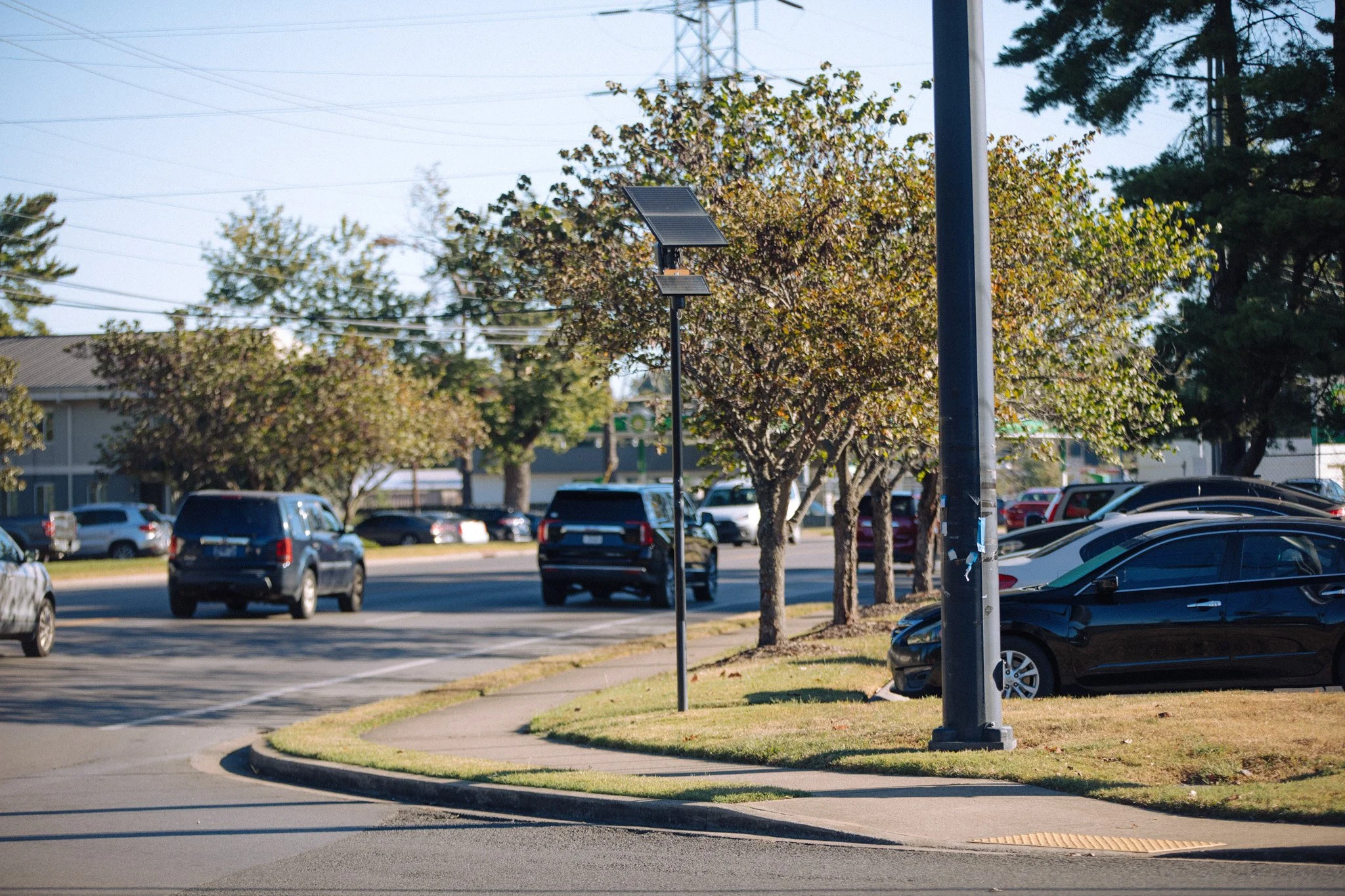
Camera: FLK-MUR-009 Location: Middle Tennessee Blvd & Bradyville Pike GPS: 35°49'52.3"N 86°22'41.9"W Direction: 4° Captured: 10/8/2026
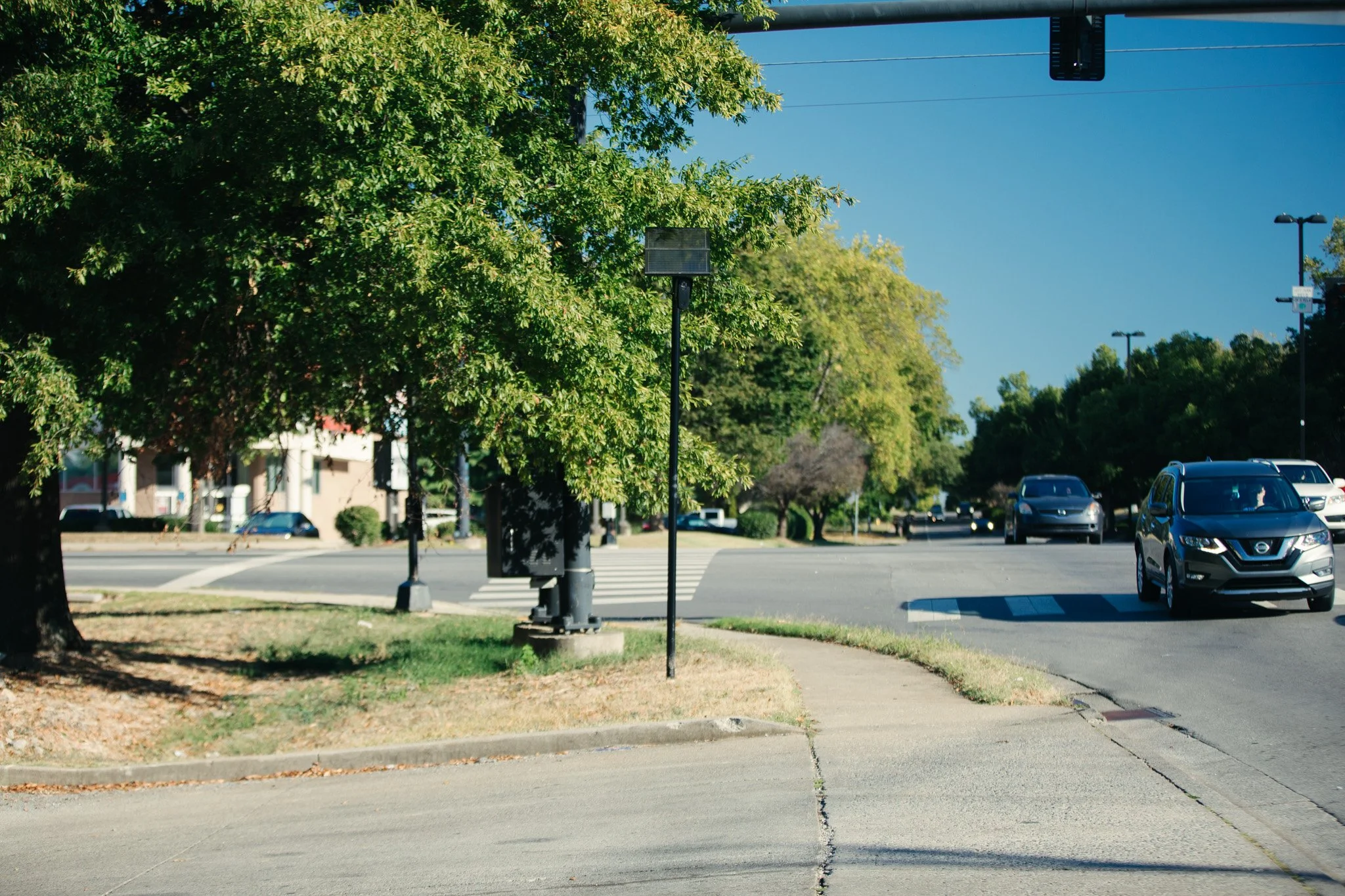
Camera: FLK-MUR-010 Location: Middle Tennessee Blvd & Dr. Martin Luther King Jr. Blvd GPS: 35°50'10.7"N 86°22'23.5"W Direction: 330° Captured: 10/8/2026
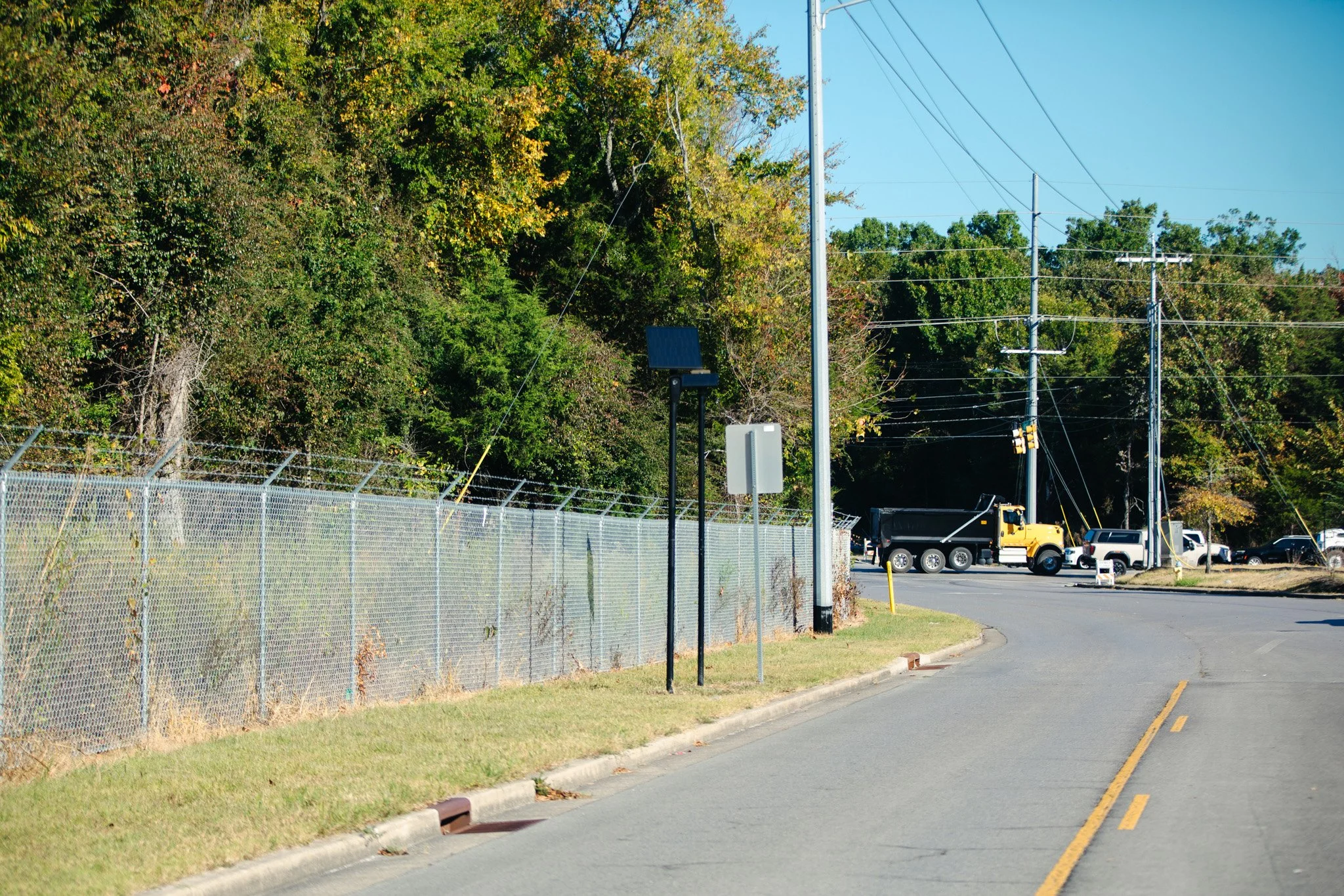
Camera: FLK-MUR-015 Location: North Tennessee Blvd GPS: 35°52'18.1"N 86°22'10.2"W Direction: 160° Captured: 10/8/2026
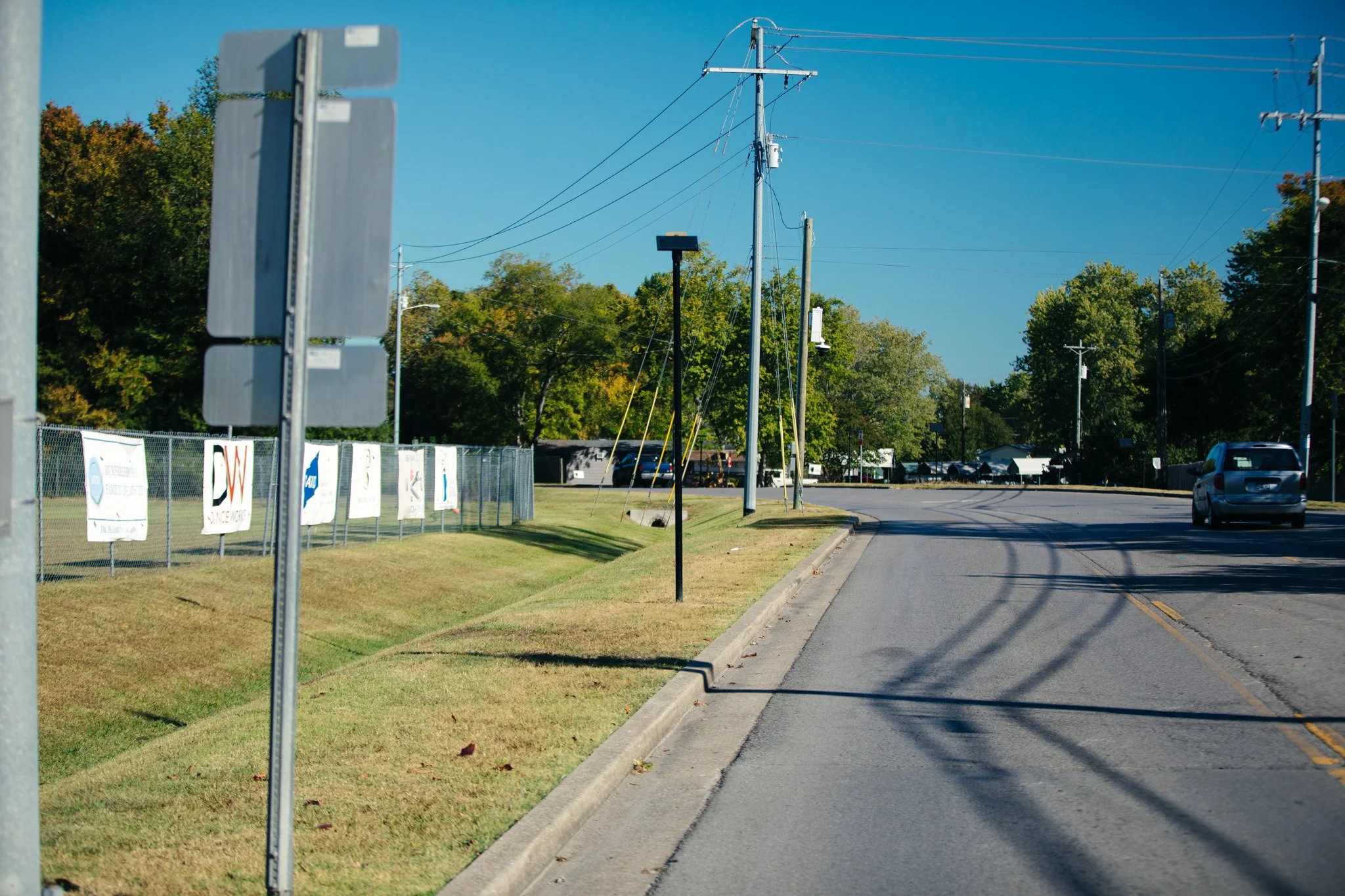
Camera: FLK-MUR-017 Location: North Tennessee Blvd GPS: 35°51'57.6"N 86°22'08.4"W Direction: 165° Captured: 10/8/2026
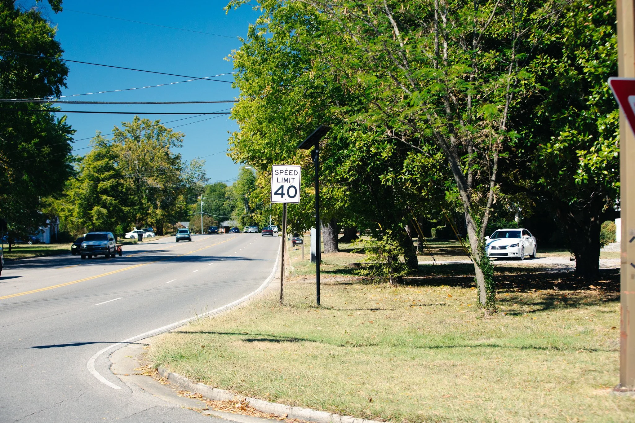
Camera: FLK-MUR-018 Location: North Tennessee Blvd & Highway 96 GPS: 35°51'32.8"N 86°22'13.8"W Direction: 280° Captured: 10/8/2026
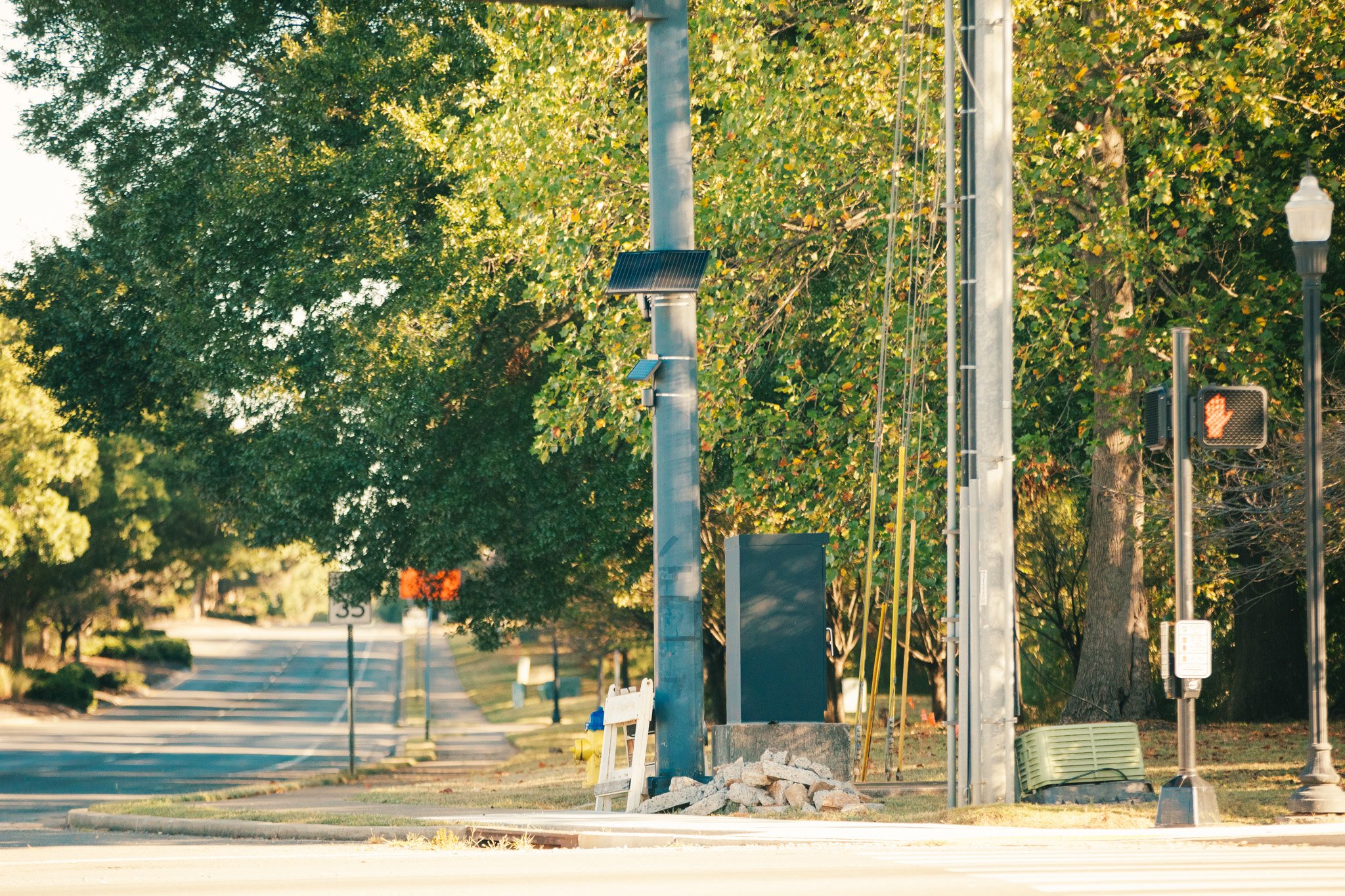
Camera: FLK-MUR-133 Location: 70 South & Middle Tennessee Blvd GPS: 35°50'10.3"N 86°22'23.5"W Direction: 184° Captured: 10/8/2026
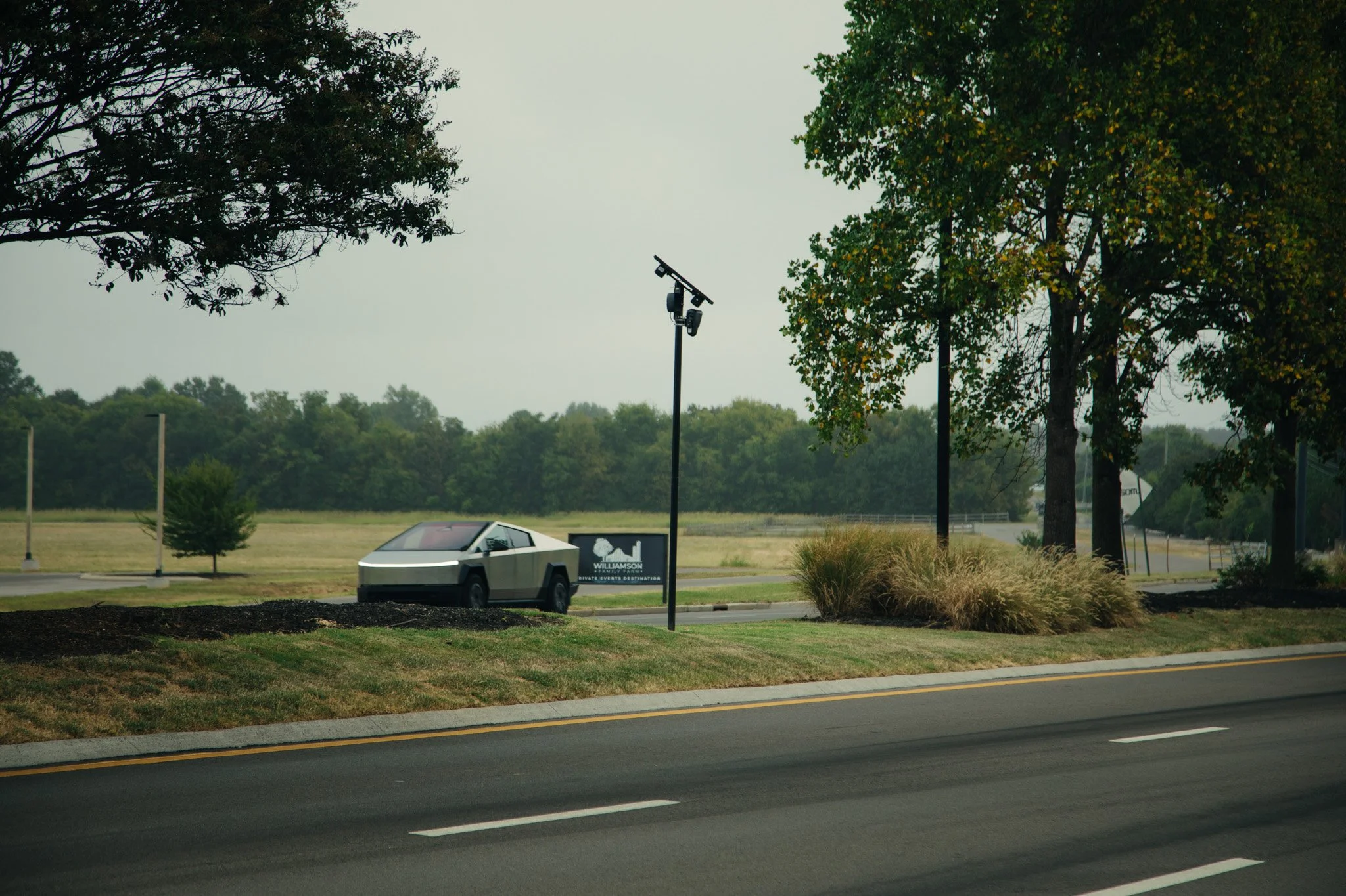
Camera: FLK-MUR-048 Location: Medical Center Parkway & Asbury Lane GPS: 35°52'01.2"N 86°27'14.8"W Direction: 110° Captured: 9/23/2026 Notes: Facing ESE toward Medical Center Parkway
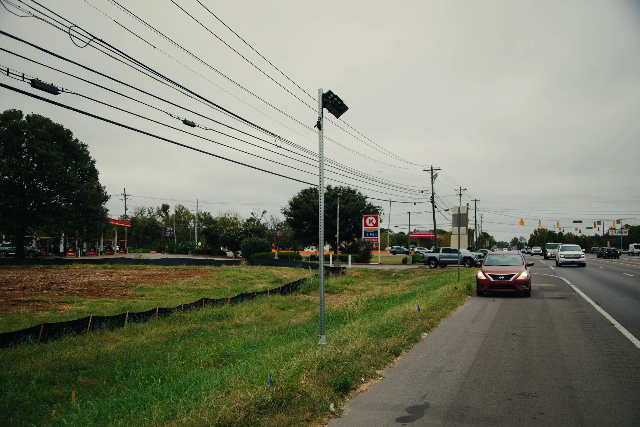
Camera: FLK-MUR-001 Location: N Thompson Lane & NW Broad St GPS: 35°52'38.6"N 86°25'31.4"W Direction: 280° Captured: 9/23/2026 Notes: Facing west/northwest toward NW Broad St
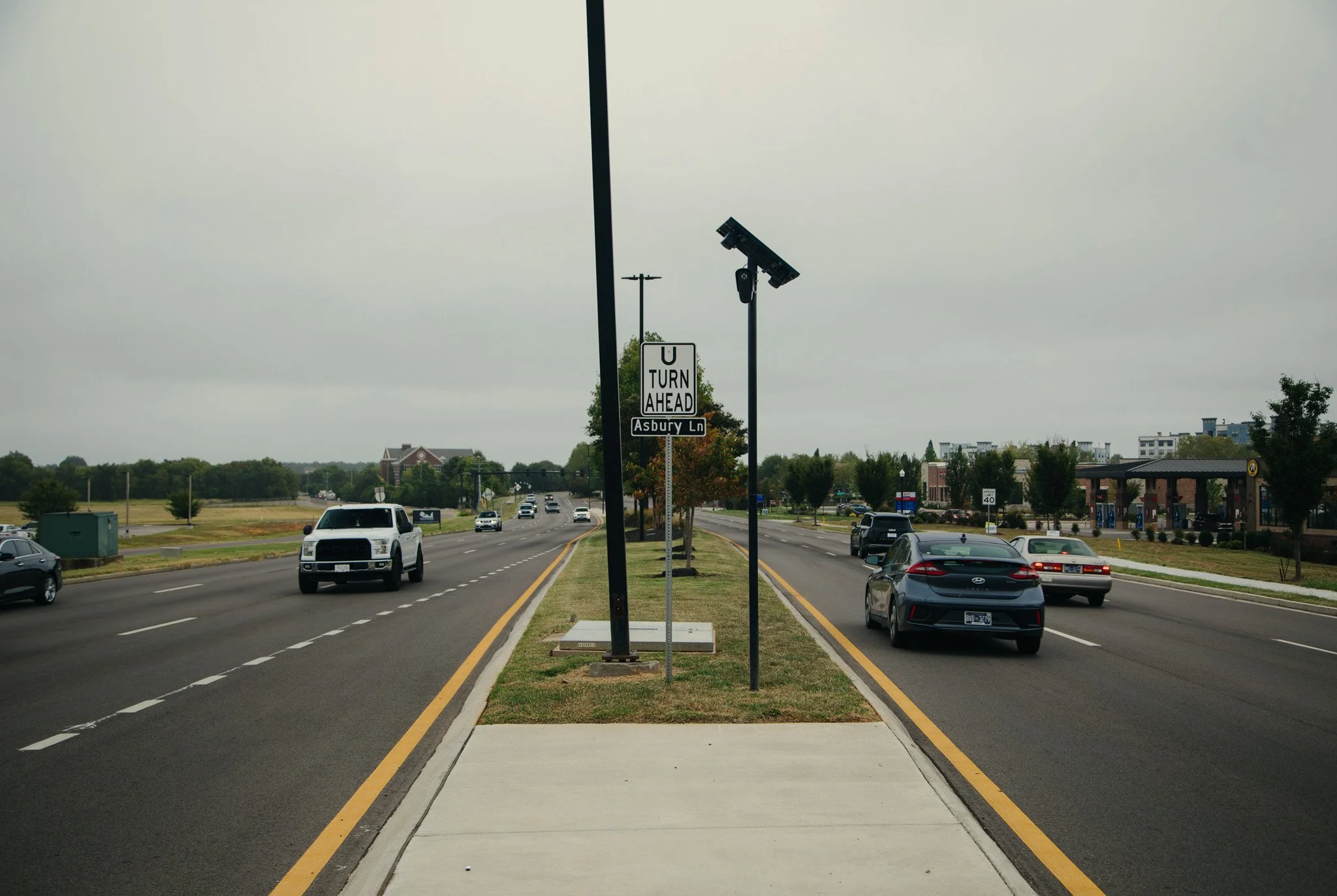
Camera: FLK-MUR-003 Location: Medical Center Parkway & Asbury Lane GPS: 35°52'01.6"N 86°27'16.6"W Direction: 296° Captured: 9/23/2026 Notes: Facing west/northwest toward Medical Center/I-24
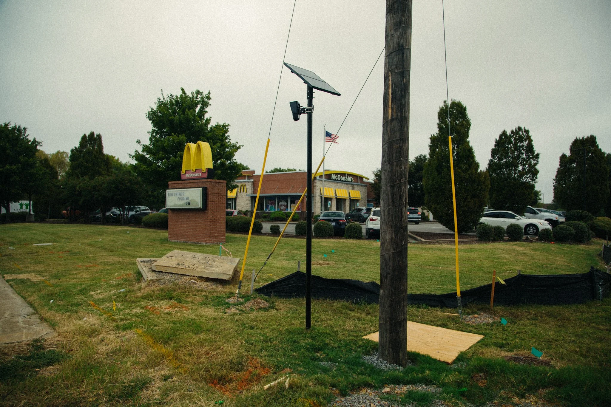
Camera: FLK-MUR-004 Location: St Andrews Dr. & New Salem Highway GPS: 35°48'39.6"N 86°27'32.8"W Direction: 341° Captured: 9/23/2026 Notes: Facing north/northwest toward St Andrews Dr
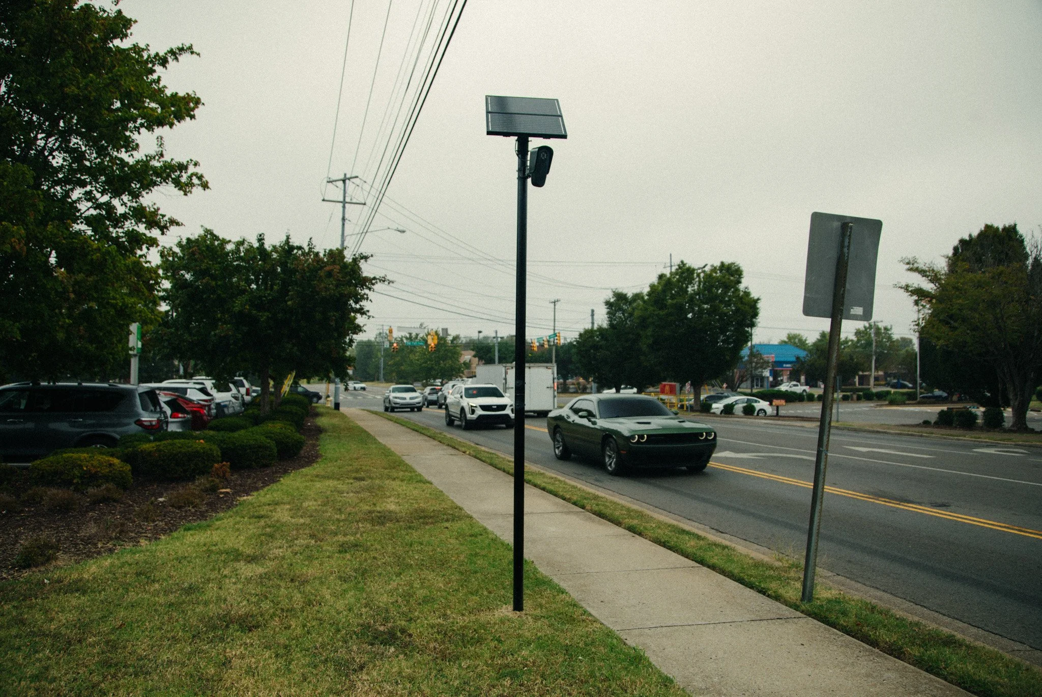
Camera: FLK-MUR-005 Location: St Andrews Dr. & Old Fort Parkway GPS: 35°50'40.2"N 86°26'41.3"W Direction: 160° Captured: 9/23/2026 Notes: Facing SSE toward St Andrews Dr
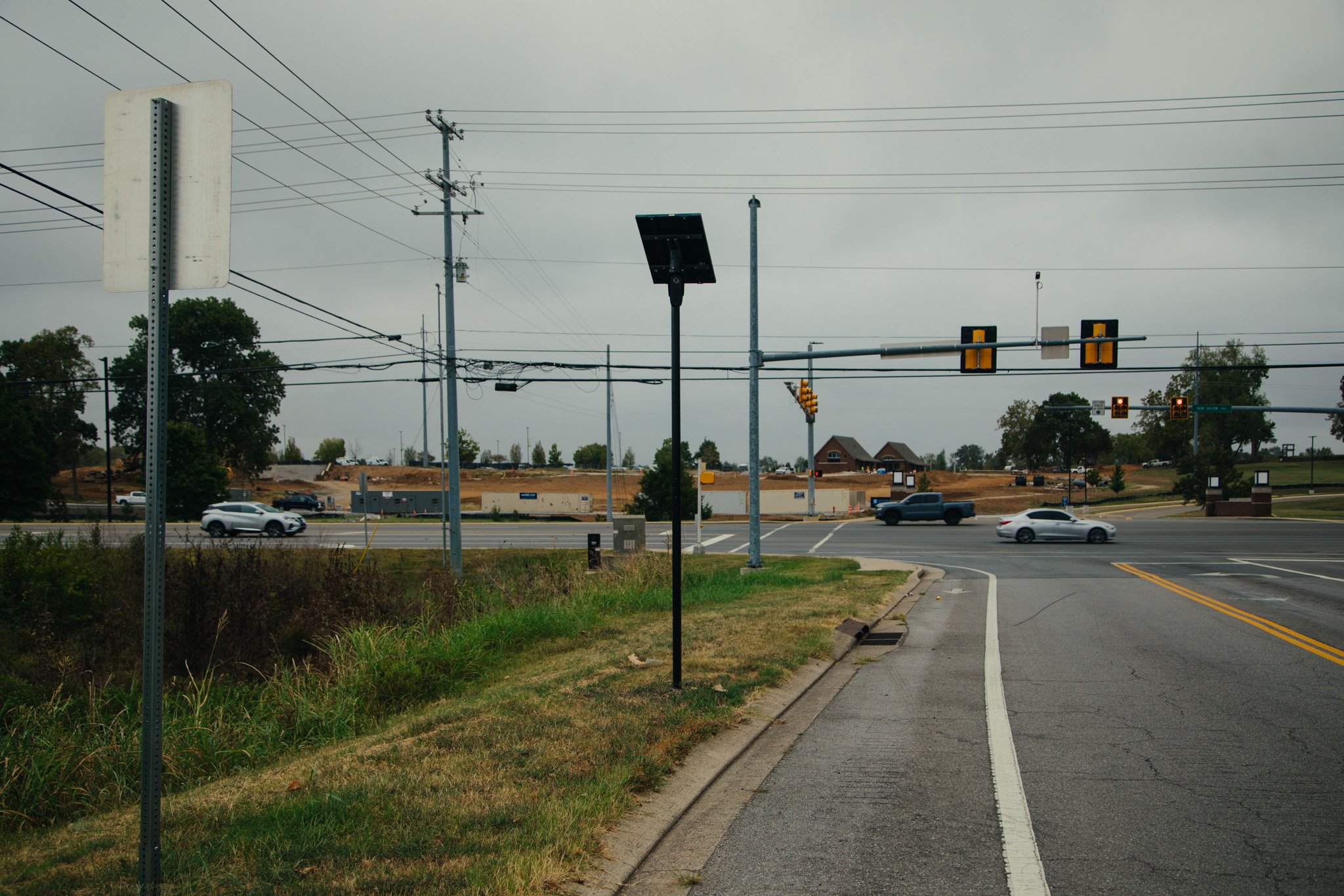
Camera: FLK-MUR-006 Location: River Rock Blvd & New Salem Highway GPS: 35°49'00.8"N 86°25'49.4"W Direction: 330° Captured: 9/23/2026 Notes: Facing NNW toward River Rock Blvd
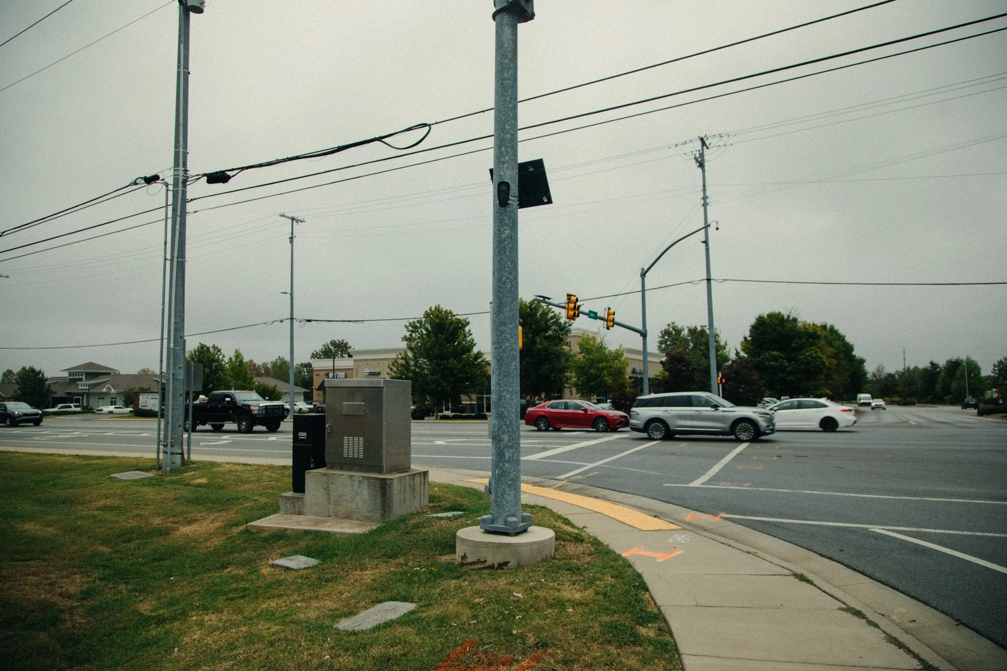
Camera: FLK-MUR-007 Location: Cason Lane & New Salem Highway GPS: 35°48'49.3"N 86°26'42.0"W Direction: 320° Captured: 9/23/2026 Notes: Facing NW toward Cason Lane
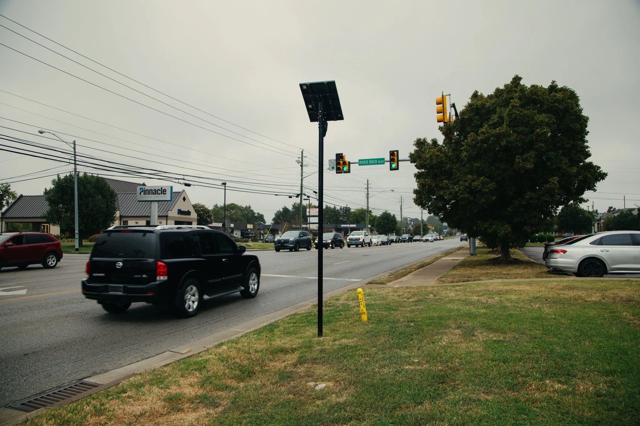
Camera: FLK-MUR-008 Location: Cason Lane & Old Fort Parkway GPS: 35°50'45.2"N 86°26'25.4"W Direction: 165° Captured: 9/23/2026 Notes: Facing SSE toward Cason Lane
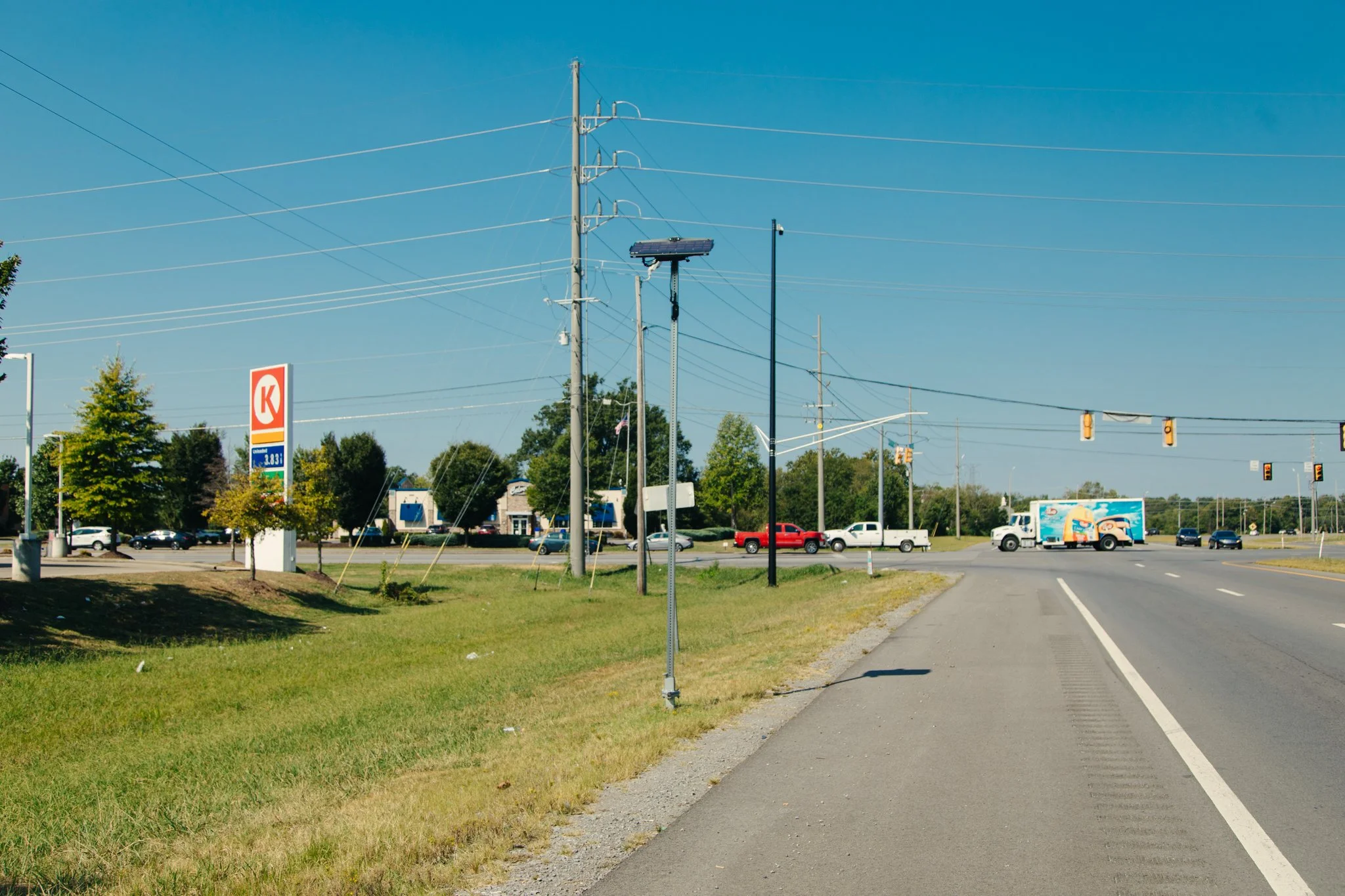
Camera: FLK-MUR-025 Location: Intersection of S Rutherford & 70S GPS: 35°50'04.2"N 86°21'02.2"W Direction: 84° Captured: 9/14/2026 Notes: Facing east toward John Bragg Highway
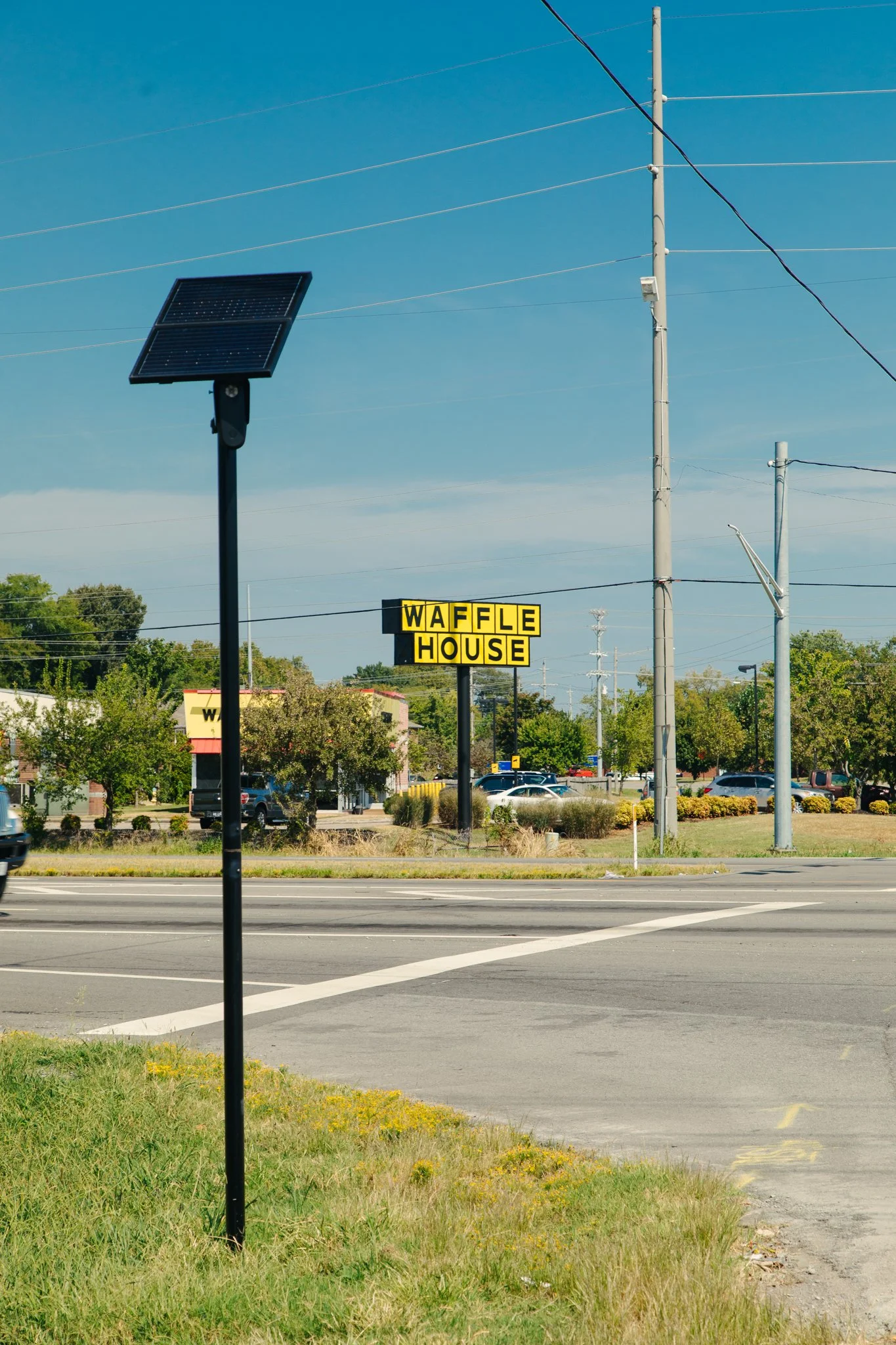
Camera: FLK-MUR-026 Location: Intersection of S Rutherford & Hwy 70 GPS: 35°50'04.6"N 86°21'04.0"W Direction: 170° Captured: 9/14/2026 Notes: Facing south/southeast toward Rutherford Blvd
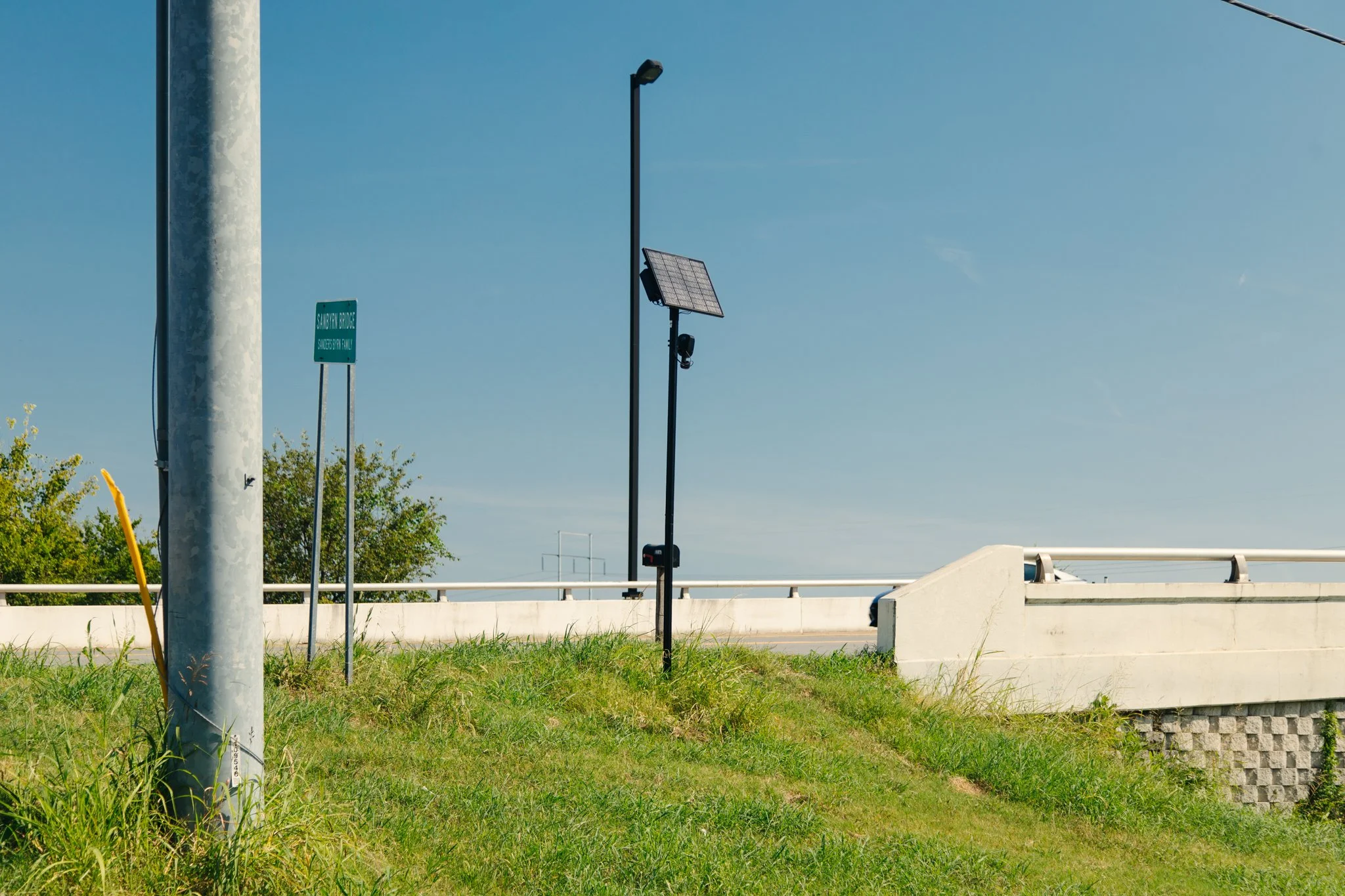
Camera: FLK-MUR-036 Location: Intersection of S Church St & Rutherford Blvd GPS: 35°49'09.5"N 86°23'38.0"W Direction: 68° Captured: 9/14/2026 Notes: Facing east/northeast toward Rutherford Blvd
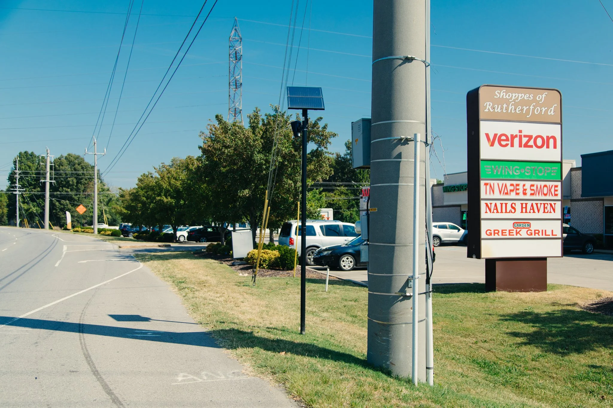
Camera: FLK-MUR-037 Location: Intersection of S Rutherford & Highway 70 GPS: 35°50'06.4"N 86°21'01.8"W Direction: 356° Captured: 9/14/2026 Notes: Facing north toward Rutherford Blvd
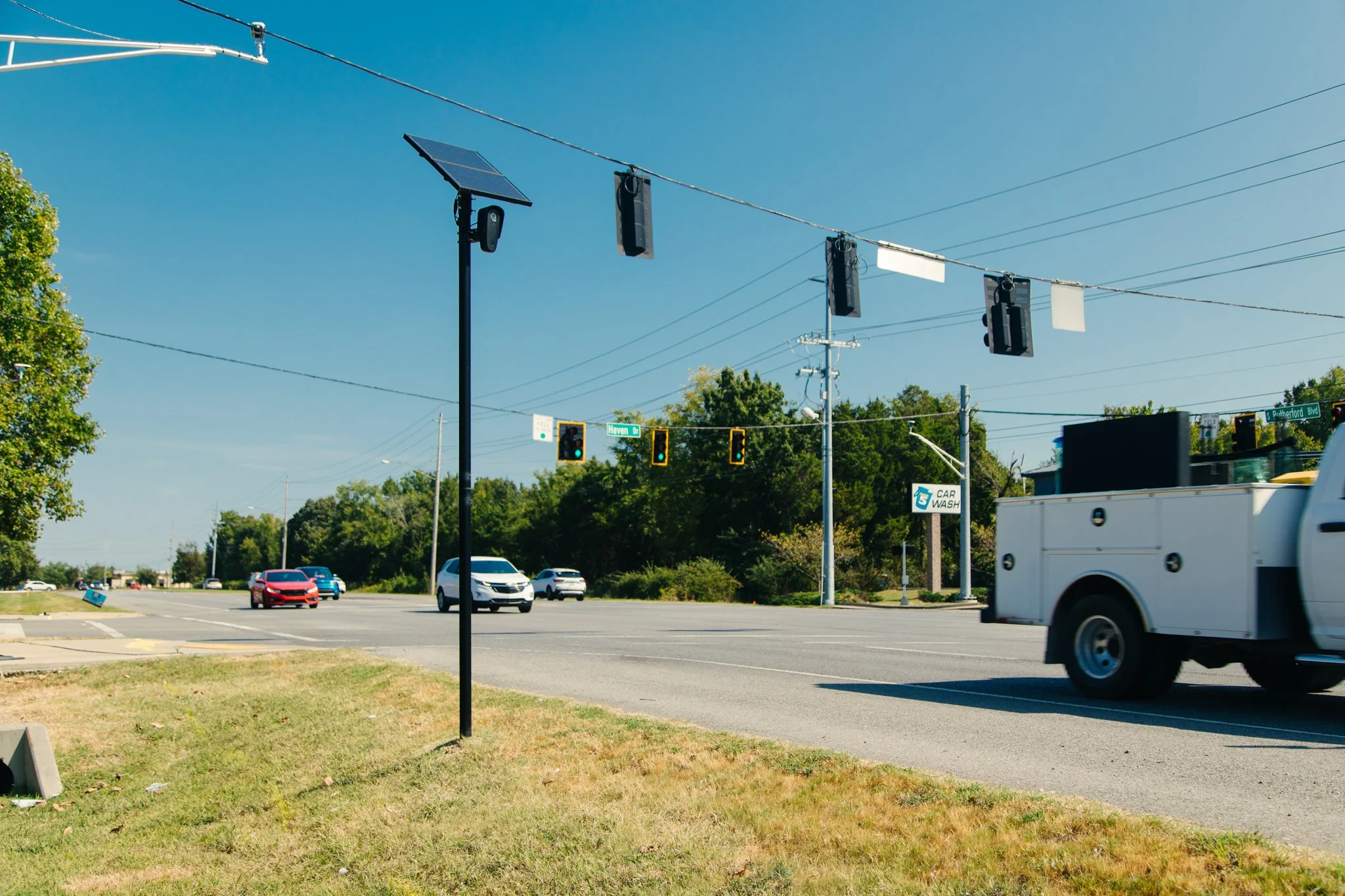
Camera: FLK-MUR-075 Location: Intersection of S Rutherford & Haven Dr GPS: 35°49'36.5"N 86°21'01.1"W Direction: 154° Captured: 9/14/2026 Notes: Facing south/southeast toward Rutherford Blvd
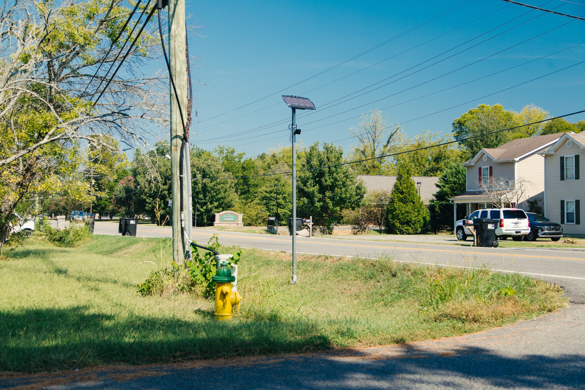
Camera: FLK-MUR-095 Location: Intersection of Bradyville Pike & Ransom Drive GPS: 35°49'09.8"N 86°21'25.9"W Direction: 110° Captured: 9/14/2026 Notes: Facing east/southeast toward Bradyville Pike. Adjacent to The Pointe at Eastdale apartment complex
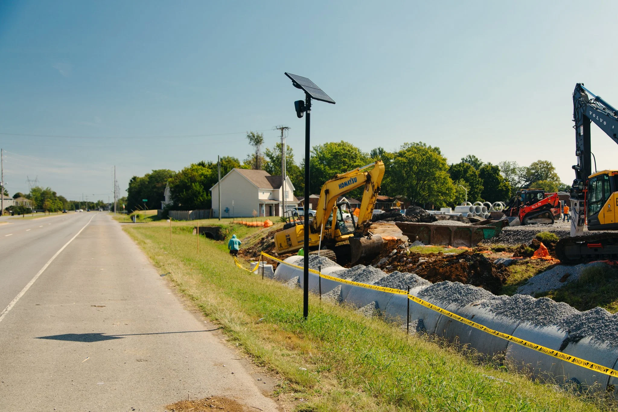
Camera: FLK-MUR-096 Location: Intersection of Bradyville Pike & South Rutherford GPS: 35°49'07.3"N 86°21'20.9"W Direction: 278° Captured: 9/14/2026 Notes: Facing west/northwest toward S Rutherford Blvd. Across from single family housing